|
Sites like this can really
test the dowsers confidence, as well as skills. Especially
when the drillers say that there is no water at the predicted
levels that the dowser has quoted. Despite this, there was water
close to the predicted level. The pressure of the drillers
saying there was no water lasted several weeks before I could
prove that I was right and they were wrong. In certain
situations mud drilling does not always indicate correctly that
there is water there or not, especially when dealing with heavy
clays.
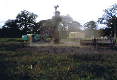
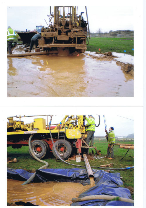
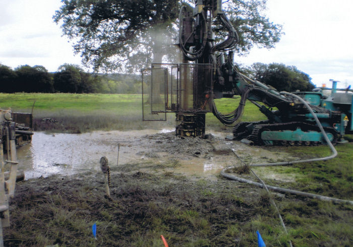
At the start of the job - This first photo -
indicates blue flags, the white spray paint indicates drilling
location.

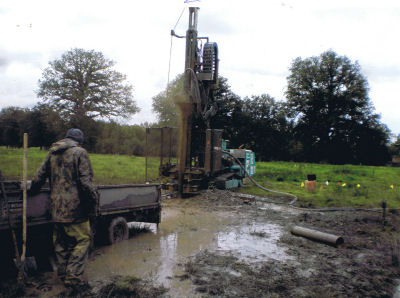
This second photo - shows clay and water. This is how the mud
drilling process takes place. Depth at that point was
approximately 30 meters of clay that we had gone through.
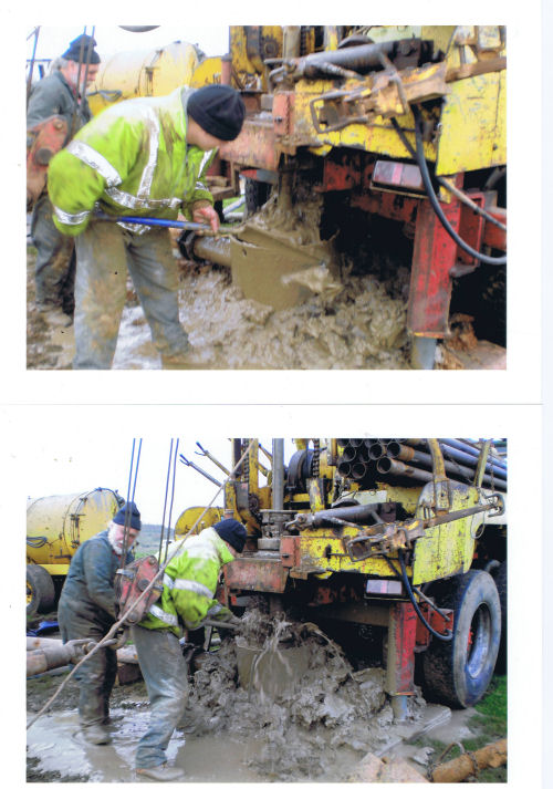
The above two photographs shows heavy, sticky
clay coming up with the water that the rig was using.The piping
system got clogged up twice in this process.
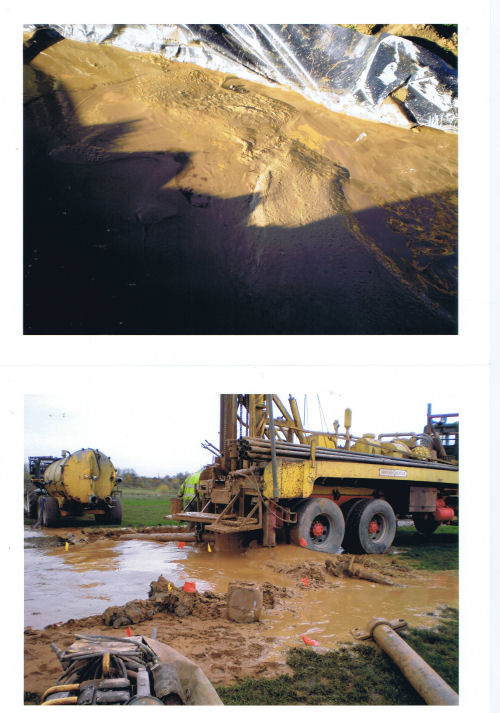
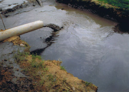
The photo below shows traces of oil floating on top of the mud
tank at 45 meters. We had gone through a series of clays and rocks
to this depth.
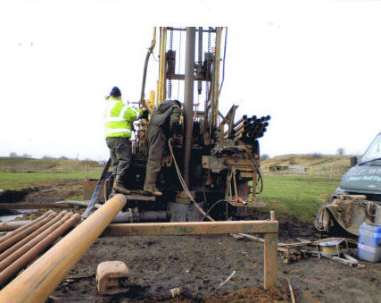
98 meters sand and water was hit. The mud drilling process at
that stage had sealed off a shallower source of water at 48
meters because of the heavy clays they had come across during
drilling. We also had come across shales and coal between the
levels of 50 meters down to 98 meters.
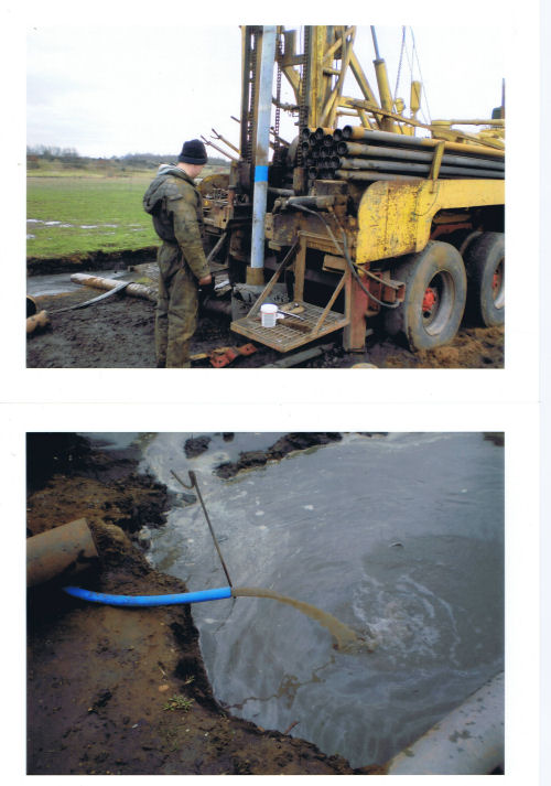
The
two photos below show the continuation of the water from the sand
at 98 meters to 100 meters, including the mud drilling water
also ......
welding of the steel casing and the water still being pumped up
The above two photographs shows the porous piping with sock on
going down into the bore hole of 120 meters. The next photo
shows the actual source of water produced from the bore hole
through the blue pipe into the tank.
At that stage it was not clean. The flow rate, after
tests was 700 gallons per hour. After pumping all day and all
night the flow rate was still 600 gallons per hour. Water in the
bore hole stayed steady at 56 - 57 meters beneath the ground.
By this time the water from 48 meters had managed to push
through the clay into the gravel surrounding the pipe.
This shows how clay can be a difficult substance to work with
for drillers and for dowsers.
This drilling process took place between December 2011 and
January 2012.
Further tests on the water quality is the next task to be
done...
The final chapter to the story which
has taken since the middle of November 2011 to the Middle of
April 2012 to be completed. The longest ever borehole I have
had to do but it was successful in the end in which they had
good drinking water. As you can see below...
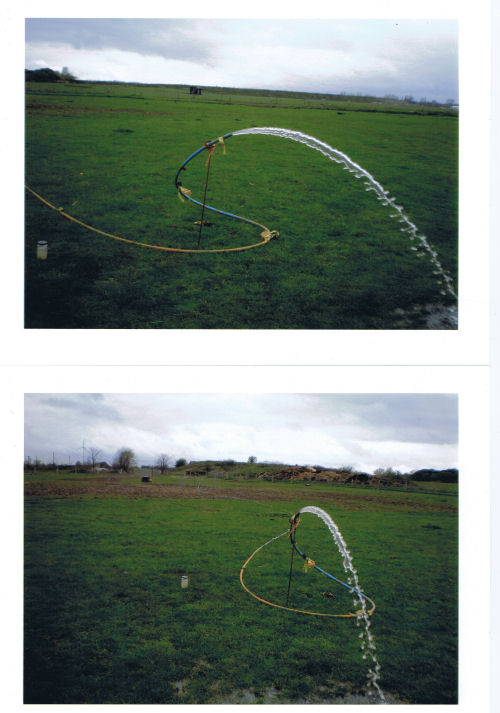
Job
done.
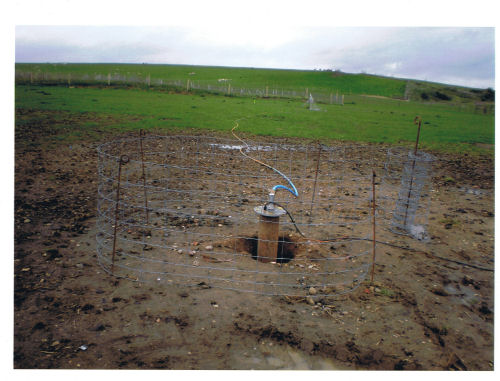
The finished borehole, ready to be boxed in.
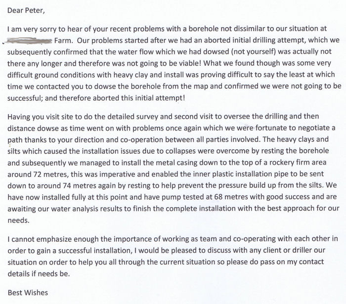
Here is the letter dated 14th January 2012 which outlines some of
the difficulties involved in drilling for water through clay...
|